Mission Impossible: The Perils of Inaccurate GPS Data
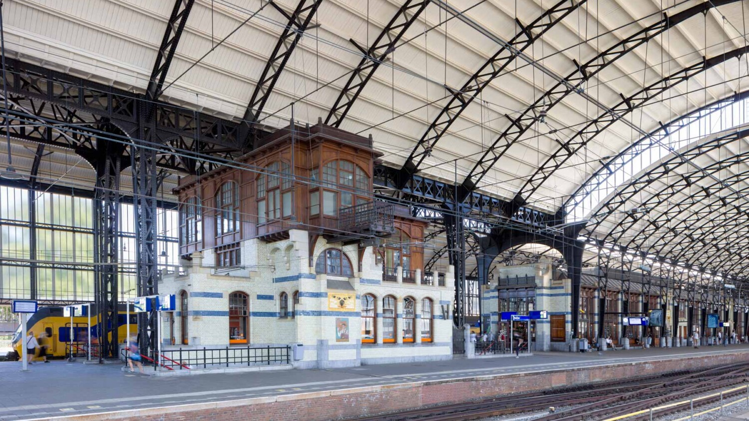
Have you ever thought about the accuracy of GPS data? I actually didn’t, until I was commissioned to take a photo of a particular place before any work was done, and a photo from the same exact vantage point after the place has been renovated. Would that even be possible? I didn’t know, but I responded with my standard answer “Sure, no problem!” To be honest, I’m still not sure how this will turn out.
My first thought was GPS. Unfortunately my camera, the Canon 5dsr, does not have GPS onboard. “That’s no problem,” I thought. With GeoTag Photos it’s an easy issue to fix. As I mentioned in my article on the architectural photographer’s digital toolkit, this app records your location through your phone while you’re standing next to your camera. You can then export that data and link it back to your photos in Lightroom. My theory was when all the work was done, I could return to exactly the same place to take exactly the same angle so that the results of the renovation would be perfectly visible.
So much for that!
In practice, it was actually not possible at all :(. Why? The US government writes: “GPS-enabled smartphones are typically accurate to within a 4.9 m (16 ft.) radius under the open sky. However, their accuracy worsens near buildings, bridges, and trees.” Because we as architectural photographers are often in the vicinity of “buildings, bridges and trees”, GPS is therefore of limited value for this particular job.
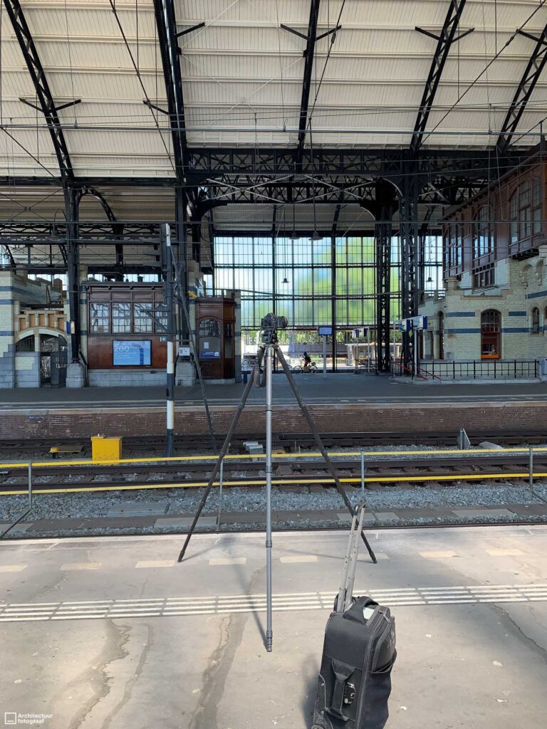
I couldn’t think of much else other than taking detailed pictures with my phone of where the tripod was and how many legs were extended. I also noted how I used the lens (for example a shift of 4 degrees up or down) and added that data to the images in Lightroom for the next time I go there.

I think it will work, but it is quite a roundabout in this digital age where everything seems possible. So if any reader knows a better way, would you please share it in the comments? Eternal gratefulness will come your way!
